Layercake’s New Data Explorer Makes Browsing OpenStreetMap a Breeze
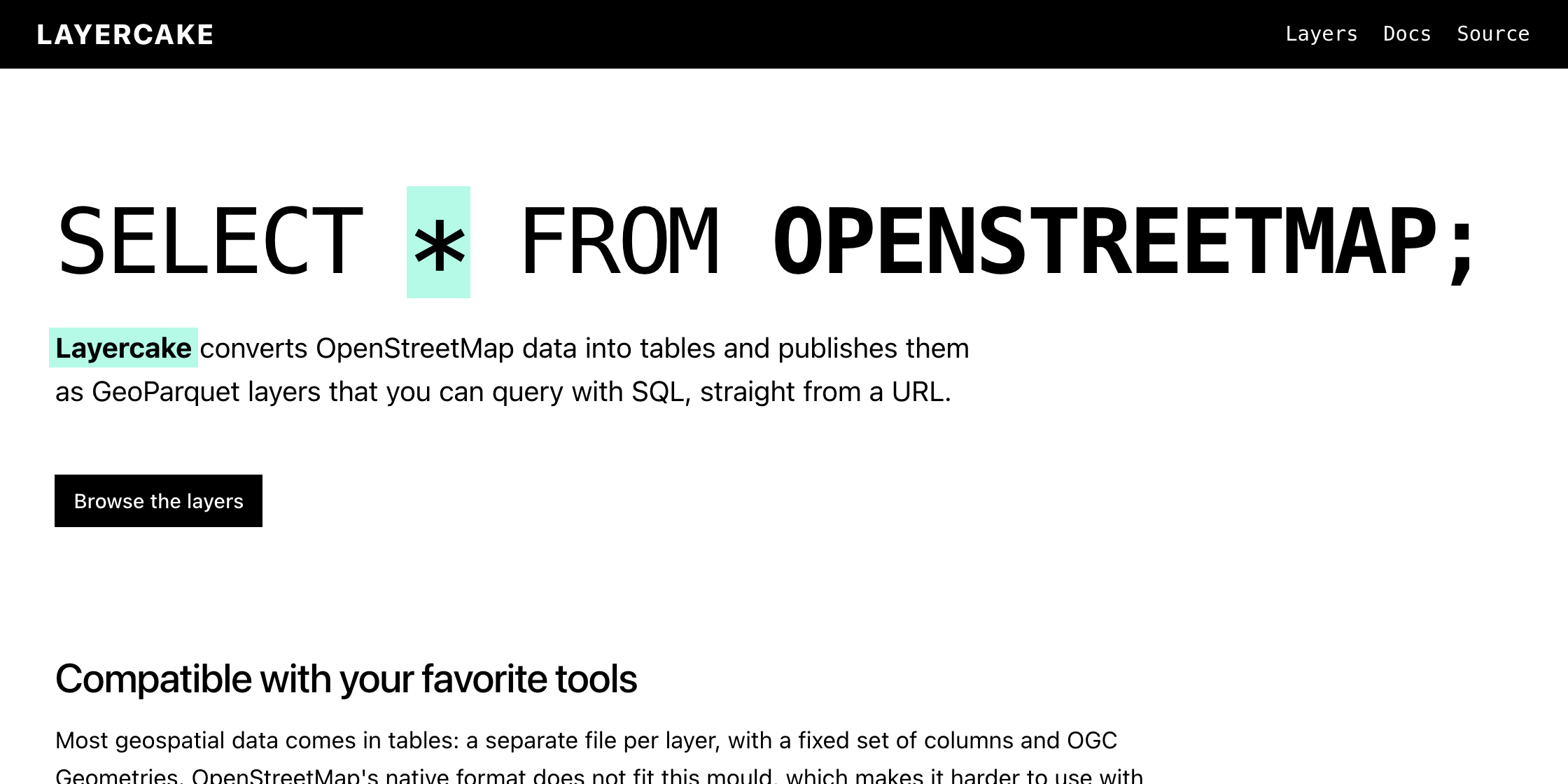
Layercake, the GeoParquet distribution of thematic data layers derived from OpenStreetMap, has a snazzy new data explorer and export tool.
Jake Low:
The new website also includes an interactive data explorer and download tool. Click “Open in viewer” on any layer and you’ll be able to fetch data for a region (by drawing a bounding box, polygon, or simply zooming to the area of interest). You can filter data by specific OSM tags, select which columns you’re interested in, and then export the data in GeoJSON, Shapefile, GeoParquet, or CSV format. All of this works directly in your browser via DuckDB (compiled to WebAssembly); there’s no backend apart from the ordinary HTTP server which hosts the Layercake GeoParquet files.
The data explorer is fast and intuitive; one of the best ways to explore OpenStreetMap data without downloading the planet file.