OpenStreetMap-Based Routers Catch Up to How People Walk
Stefan Keller, Spatialists:
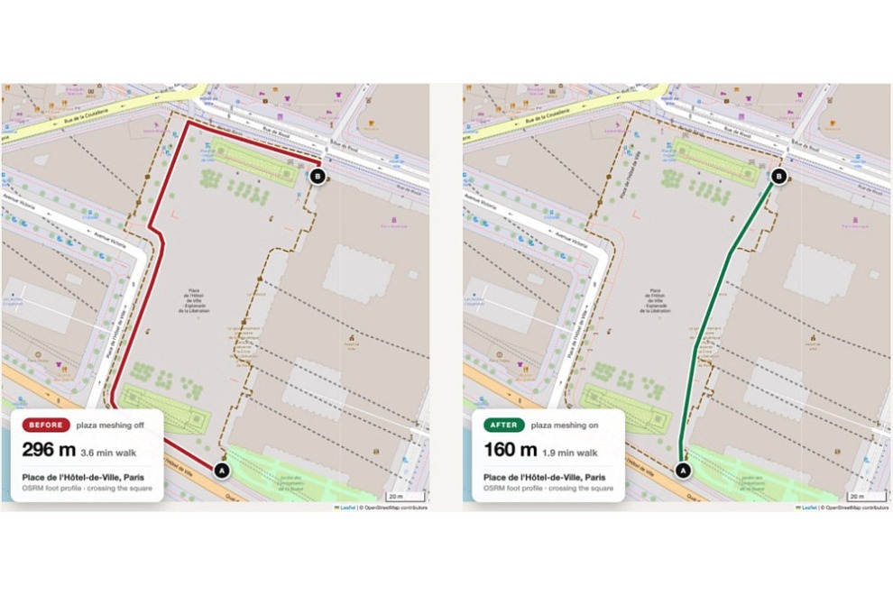
There has been an increase in attention surrounding pedestrian routing, as two prominent OpenStreetMap-based1 routing engines, OSRM and Valhalla, have started to calculate routes not just along paths, but also across walkable surfaces such as squares, pedestrian zones and station forecourts. This brings routing much closer to actual human movement. As far as I know, Google Maps does not yet offer this feature, often offering detours around the perimeter of large squares instead.
OSRM is used by the main OSM homepage, the OSM homepage Switzerland and Mapbox, among others.2 Valhalla is used in Apple services and various OSM-centric geospatial projects.
The two engines take different approaches to offer the new functionality: Valhalla generates an internal routing graph for pedestrian areas, enabling large squares or pedestrian zones to be crossed quasi-naturally, even when no individual paths are mapped. OSRM introduces a model called “Open Area Routing” (also referred to as “Plaza Routing”), which explicitly accounts for surfaces. Origins and destinations can lie inside an area and its geometry is factored directly into route and distance calculations.
I did not know about these changes; very cool to see.