Portolan’s Origin Story as Told by Creator Chris Holmes
Chris Holmes shares his personal origin story of Portolan, which is rooted in his experiences building spatial data infrastructures twenty years ago.
The early rise of AI made it even more clear to me that all the past SDI initiatives had fundamentally fallen far short of the vision to ‘enable the discovery and use of geospatial information by users and for purposes other than those it was created’ (Kuhn 2005) or to deliver ‘spatially related data from many different sources to the widest possible group of potential users at affordable costs’ (Groot & McLaughlin 2000).
[…] the example Jen Marcus (another of the people I’ve most enjoyed working with) and I would give in the early days of Fields of The World (FTW) - ‘How many fields are there in Kansas?’ If SDIs had been successful then this should be trivially easy for an LLM to answer - they sucked up all the world’s information and so of course geospatial information should be there too. But I see the lack of that information as a failure of our industry - we should have done better and actually made foundational geospatial information open and accessible for the frontier labs to gobble it up.
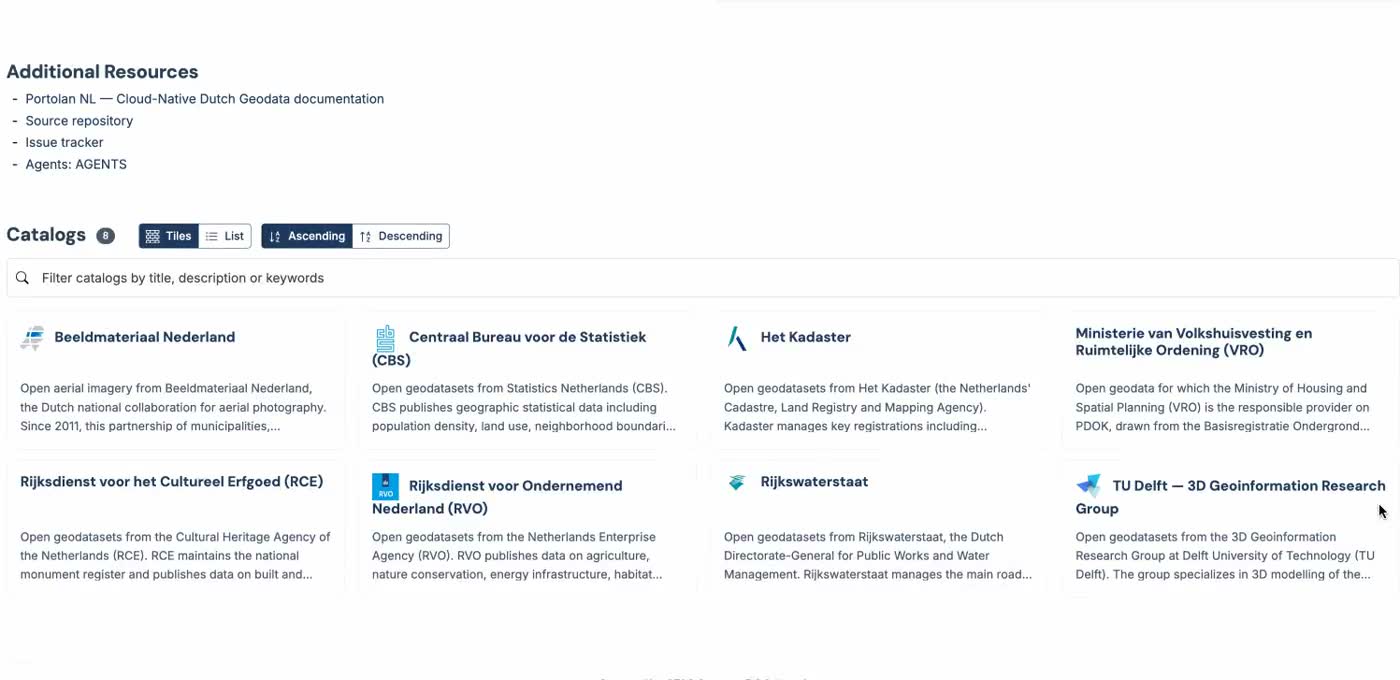
Astonishingly, Portolan’s solution isn’t more infrastructure, new APIs, or a fleet of MCP servers. It’s just a bunch of Markdown files, JSON documents, and a couple of skills sprinkled on top, pointing AI agents in the right direction. It’s so unbelievably simple that it scales better under today’s deluge of a thousand bots slurping up every last bit of information available on the Web. This simple design is why Portolan has such huge potential.