Kiri Carini and Martha Morrisey’s primer on geospatial embeddings is, hands down, the best I’ve encountered. It covers what embeddings are, how they are produced and what they are used for.
Instead of relying only on human-defined categories or measurements, foundation models learn representations directly from Earth observation data. The outputs of those systems — embeddings — are becoming an increasingly important building block for retrieval, similarity search, clustering, and other emerging geospatial AI workflows.
If you’ve spent the last year hearing terms like “GeoFM,” “foundation model,” or “embedding” without a clear mental model for how they connect together, this post is for you.
There is also a poster that fits nicely in your home office and a mini zine for your coffee table, so you get to impress your colleagues and friends as well.
With Portolan, stac-zap and stac-fastapi-collection-discovery we’ve recently covered various approaches to facilitate searching across several STACT catalogues. Portolan and stac-zap provide AI-driven search against a registry, whereas stac-fastapi-collection-discovery implements a STAC-compliant search API on top of a curated index of data sources.
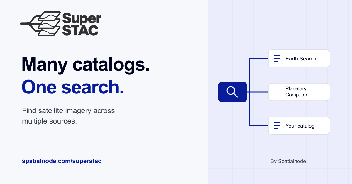
SuperSTAC is the latest addition to this space, providing a unified interface to search against a custom compiled index of STAC catalogues.
Emmanuel Jolaiya Ayodele:
SuperSTAC is a high availability layer for applications that depend on STAC catalogs. It lets you register multiple catalogs and search them through one interface, while providing the building blocks for handling catalog availability and provider differences.
The idea is simple: Many catalogs, One search.
Implemented in Rust, SuperSTAC comes with a Python API to build custom applications or Jupyther notebooks, and a command-line interface. And it adds some useful features that its predecessors lack: aliases and local caching.
Aliases are for people who don’t remember what name a specific catalogue uses for the blue band (i.e., everyone). Specify aliases for collection and asset names and use them to run a search. SuperSTAC translates your aliases into each catalogue’s own names before sending the search, then maps them back to your aliases in the results
SuperSTAC can also cache results locally in GeoParquet. This is particularly handy when repeated queries against a catalogue hit rate limits, or when you want to work on a plane. And cached results also come back much faster, since there’s no network round trip.
SuperSTAC looks like the most complete solution for multi-catalogues STAC search that is not AI driven. It’s not just a proof of concept, it’s a library that you can use today.
Eugene Alvin Villar writing for the OpenStreetMap Blog:
Maptober is here! Starting today, the OpenStreetMap Foundation’s Local Chapters and Communities Working Group invites mappers everywhere to take part in the 31 Day OSM Challenge. Inspired by the #30DayMapChallenge that happens every November, this new challenge gives you a daily theme to improve OpenStreetMap, from adding trees or improving woods on Day 1 to benches, bridges, railways, healthcare, and more. Just complete the day’s task, tag your changesets with #31DayOSMChallenge and #Maptober hashtags, and share your edits on social media if you like.
There’s no pressure to map every day and you can complete the challenge at your own pace. There is no prize beyond knowing you’ve contributed to the world’s best open map. This is a great way to sharpen your skills, try new tools, and learn how to map different kinds of features. Just keep to OSM’s good practices rather than mapping only to tick a box.
Check out the full list of daily themes at the OSM Wiki and start mapping!
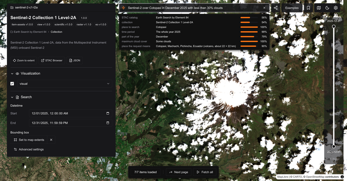
Cool new prototype from Development Seed: stac-zap builds on top of stac-map and integrates free-text search across STAC catalogues. Describe the data you need, get results.
Daniel Wiesmann, writing on LinkedIn:
You type one request in the search bar, and Jev picks the catalog and the collection, finds the place in your request, and sets the dates and the cloud cover. Jev does not write text: it only selects from options that exist, such as real catalogs, collections and places, so every search is a valid STAC query. The answers update the app state, and stac-map shows the result.
Jev is an interesting choice for translating the search request into a structured query. Unlike general-purpose LLMs, Jev works from pre-specified output types, so it always returns results in a predictable format, which makes it a better fit for many automation tasks
Turning fuzzy requests into tangible results is one of the better uses of AI. People often don’t know exactly what they’re looking for, or where to find it, especially when the data is spread across several catalogues. Right now, this still needs a well curated list of sources like STAC Index, which stac-zap uses, or the Portolan registry. Jev can only pick from catalogues it knows. AI makes searching easier but the results are only as good as the source data.
Candice Julka, CARTO:
Ubilabs is now CARTO’s exclusive partner and reseller for the DACH region, bringing CARTO’s Agentic GIS platform to organizations in Germany, Austria, and Switzerland. Ubilabs brings 20 years of geodata project experience and will help customers identify use cases, set up technical foundations, and support implementation, with analysis running inside each customer’s own cloud data warehouse.
The announcement is part of a broader push by CARTO to expand internationally through regional partners, following recent exclusive partnerships in Mexico and Argentina, Chile, Uruguay and Paraguay.
The partnership could open new opportunities for CARTO among public-sector clients in Germany, Switzerland and Austria that require German-language support and a contract with a local entity.