Tracestack Topo, the new map style on OpenStreetMap.org
A new map style has been added to the OpenStreetMap site:
It’s a mix of osm-carto and OpenTopoMap. It has many improvements: more tag support (busway, embankment, cuisine, solar plants, aquaculture, pitch, sea, tree etc.), CJK fonts, etc. There is also better internationalisation: country specific road shields, peaks using imperial system in the US, hierarchical place rendering in China, etc.
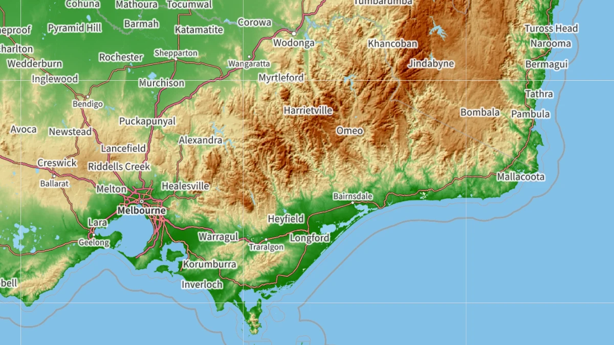
Zoomed in, it looks a lot like the standard OSM styled. In lower zoom levels, it reminds me of school atlases I grew up with. Very nice.