Geo-reference Images From Public Archives With Allmaps
Link: https://allmaps.org
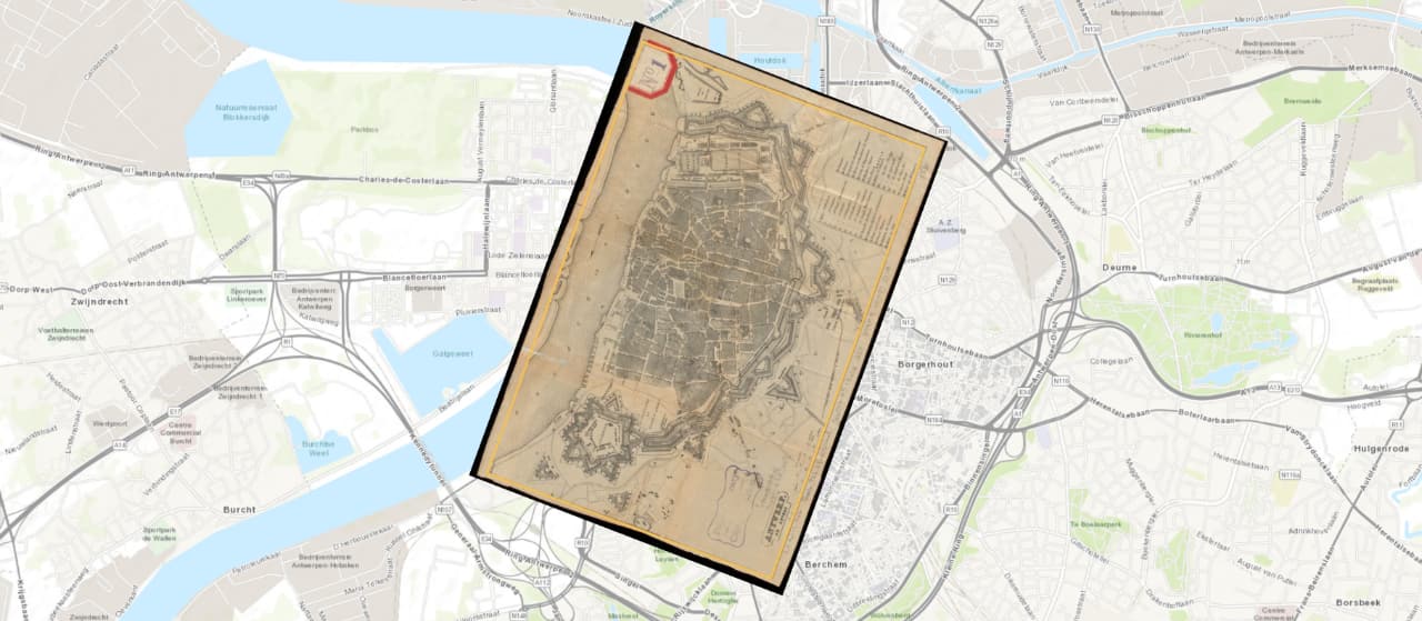
Now here’s a very cool project: Allmaps, a browser application made by Bert Spaan and Jules Schoonman, lets you geo-reference images from public sources such as libraries and public archives. You provide the URL of an image and set the reference points via the Allmaps interface. Ideal for laying digitised images of old maps over modern-day data and understanding how the geography has changed.

What is unique about Allmaps are the technical underpinnings of the application; relying heavily on open standards to access images and store annotations:
- Image resources are accessed via International Image Interoperability Framework’s (IIIF) Image API, which doesn’t just return an image; it allows developers to specify region, size, rotation, and format of the returned image — ideal to crop, resize and rotate an image into place on a map.
- The map’s control points are stored using a format based on W3C’s Web Annotation Data Model. The custom format uses GeoJSON to represent geographic coordinates of control points while placing the corresponding pixel coordinates inside the
propertiesobject.
Allmaps combines existing standards in a novel way, designing for interoperability from the start and enabling sharing of geo-referencing data with other applications.