Thematic-Mapping Library Bertin.js Reaches 1.0 Milestone
I somehow missed this: Bertin.js has reached a significant milestone with its 1.0 release.
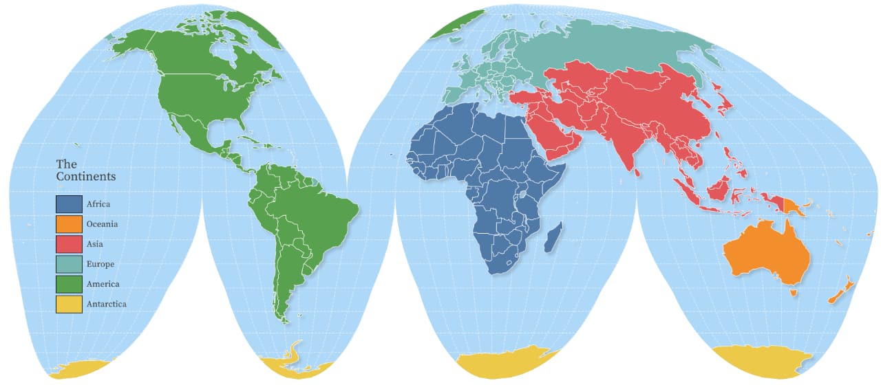
Bertin.js is a JavaScript library that simplifies creating static thematic maps in SVG, primarily for print, online publications or presentations. You can certainly add a level of interactivity, but Bertin.js isn’t designed to replace, or compete with, interactive-mapping libraries like Leaflet, OpenLayers, or MaplibreGL.
Bertin.js provides a comprehensive API to make thematic maps using classification, cartograms and tooling to add map components, such as titles, footers, legends, or graticules. It is a wrapper around D3’s powerful mapping capabilities, providing reasonable defaults so you can focus on designing your map and don’t have sweat intricate details such as creating a legend and specifying individual pixel coordinates to perfectly align symbols and labels.