Overture Maps Foundation Releases First Data
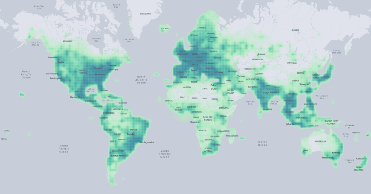
The Overture Maps Foundation has released the first version of a global map data set, which includes data for places of interest, buildings, transportation and administrative boundaries.

The four layers combine data from different sources into one uniform data schema. The data has been sourced from commercial data provides, all members of the foundation, and and OpenStreetMap:
- Meta contributed to places of interest,
- Microsoft contributed to places of interest and buildings,
- Esri contributed to buildings, and further
- Buildings and transportation data was sourced from OpenStreetMap.
Accordingly the licenses vary for each data layer:
- Places of interest and administrative boundaries are licensed under CDLA Permissive v2.0; the data can be modified and shared as long as the original license is included.
- The buildings and transportation layers are available under ODbL, which the same as OpenStreetMap’s license.
The data is hosted on AWS S3 and Azure Blob Storage and available for download in the Parquet format, a cloud-native format. You can download the data to your local machine using the AWS CLI, Azure Storage Explorer or the AzCopy.
Alternatively, to make use of Parquet’s cloud-native capabilities to download only the data you need, you can fetch data via SQL queries in AWS Athena, Microsoft Synapse, or DuckDB.
The data release is the first major sign that the the Overture Maps Foundation is alive and produces results. Combining sources from major providers could yield one of the most complete and up-to-date data sources we currently have; it would be interesting to see how it compares to OpenStreetMap. Plus the use of modern, cloud-native formats make this vast dataset manageable, without clogging up your hard drive.