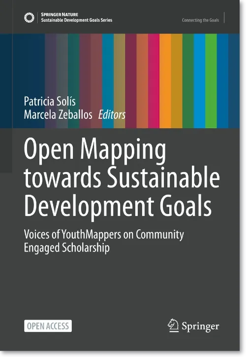
A new book documents the history and activities of Youthmappers, a global movement that engages university students in local mapping using modern technology to collect data and organise activities. Open Mapping towards Sustainable Development Goals looks Youthmappers chapters worldwide and how their work relates and contributes to achieving Sustainable Development Goals.
But this isn’t your average Springer publication with contributions from tenured university professors who only leave their offices to spend the summer uninterrupted in their holiday homes to write. All chapters were written by Youtmappers activists:
[T]his book aims to document and share insights about this movement’s emergence from the first-person voices of the very students themselves who are among those at the forefront of creating our new people’speople’s map of the world. […] Each chapter puts forward the voices of students and recent graduates in countries where YouthMappers works, all over the world. Many of them hail from countries where expertise in geospatial technologies for the SDGs is nascent and needed.
Each chapter is written in the context of a primary and a secondary SDG, identified by each chapter’s authors. The topics covered are as wide-ranging as the SDGs and as diverse as its contributors, including city planning, agriculture, gender equality or ethics.
The ebook version is available for free as PDF or ePub, the paperback is EUR 39.99, and the hardcover is EUR 49.99.
NACIS has published the sixth edition of the Atlas of Design, a hand-picked collection of 32 maps highlighting the importance of design in cartography.
You can preview some of the maps included in the edition, and they look gorgeous.
A new book by Ryan Lambert teaches Postgres and PostGIS using real-world data from OpenStreetMap.
This book provides a practical guide to introduce readers to PostGIS, OpenStreetMap data, and spatial querying. Queries used for examples are written against real OpenStreetMap data (included) to help you learn how to navigate and explore complex spatial data. The examples start simple and quickly progress through a variety of clever spatial queries and powerful techniques.
Looking at the sample chapter, Mastering PostGIS and OpenStreetMap is very hands-on and very technical.
You can purchase the book for $99 from the website; it’s available in three formats: HTML, PDF and ePub.
A print publication containing airline maps? Where do I sign up? Directions of Travel is a magazine about just that published twice a year in newspaper format. It is sold online and in selected shops in London, Zurich, and New York.
Can’t wait to get to London for Christmas to get my hands on one of these.
“Landsat’s Enduring Legacy: Pioneering Global Land Observations from Space,” a book covering the history of the Landsat program, is now open access and available to download for free.
From the book’s preface:
The basic purpose of the […] book is to document and explain salient aspects of the first fifty years of Landsat activities and operations, so that current and future generations can comprehend both the qualities and vagaries of the Landsat observation record.
Almost all authors were involved in Landsat at some point, some of them for decades. The book is based mainly on archive material and accounts from scientists and engineers involved in the early stages of the program — this should be an exciting read.